Current Weather Analysis Tools
The graphics on this page are all linked to their sources; click on them for larger versions, more information, and additional products. Is this page all Greek to you? Click Here for Weather Page Help

US IR sat |
High resolution
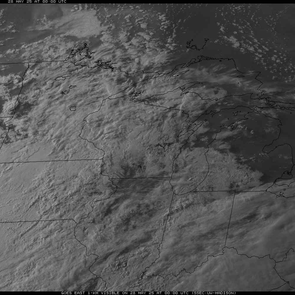
visible sat pic |

U.S. Surface Map: fronts, pressure, radar |

U.S. Jet Stream (winds at 300mb) |

Current Surface Winds |

Current Surface Visibility Distance (miles) |

Water Vapor satellite loop |

Water Vapor satellite |

Fog/cloud image, nighttime hours only

O'Hare-centered surface chart (winds) |

NOAA's aviation graphical turbulence

NOAA's aviation weather conditions |


Current conditions in the Naperville area. |
More Current Weather Conditions Resources:
- UCAR - RAP Real-Time Weather data, satellite page
- ADDS satellite page (mirror of UCAR-RAP data)
- Unisys midwest visible satellite loop
- Intellicast Naperville-centered satellite
- NASA's GOES-12 image server
- COD's large N. Illinois sat pic
- SSEC - U of W Real-Time Imagery and Data page
- World Sunlight Map showing sunrise/set line and cloudcover
- AMS's DataStreme; current data, plus learning guides
|